Earth, Planets and Space ( IF 3.0 ) Pub Date : 2023-08-28 , DOI: 10.1186/s40623-023-01882-9 Meng Gong , Jian Lv , Xingmian Zhang , Yong Zheng , Hao Chen , Jun Dong , Xiaohui Zha , Zheng Li , Shuzhong Sheng , Tongli Wang
|
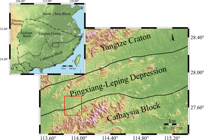
High-resolution seismic image is critically important for mining minerals. In this study, we collected seismic data from a local dense seismic array consisting of 154 stations around the Anyuan mining area and its adjacent region of Pingxiang City, Jiangxi Province in South China, and applied the ambient noise tomography (ANT) method to image the shear wave velocity structure in the study area. Shallow crustal velocities at depths less than 3.3 km were determined by direct inversion of Rayleigh wave group velocity dispersion curves at the period range of 0.5–5.0 s. Overall, the S-wave velocity structure has a tight correlation with surface geological and tectonic features in the study area. The shear wave velocity structure in the shallow crust of the Anyuan Mine and its adjacent areas displayed distinct low-velocity anomalies, which can be attributed to the depression of sedimentary structures and coal mining activities in the Pingxiang-Leping region. The zones surrounding the Anyuan fault (AYF) and Wangkeng fault (WKF) zones exhibited low-velocity anomalies from the ground surface to ~ 3.3 km underground. And the low-velocity anomalies at depths less than 1.2 km could be related to the sedimentary environment of coal mine and the coal mining activities, while the low-velocity anomalies at depths below 1.2 km are caused by the presence of fracture medium, oil and gas in the fault zone. The shear wave velocity changes sharply across the AYF, and the characteristics of the velocity change interface indicate that the AYF is inclined toward the northwest, with its extension reaching depths of approximately 3 km underground.
Graphical Abstract
中文翻译:
江西安源矿区及邻区高分辨率浅层地壳剪切波速度结构
高分辨率地震图像对于矿物开采至关重要。本研究采集了江西省萍乡市安源矿区及其邻近地区由154个台站组成的局部密集地震台阵的地震数据,并应用环境噪声层析成像(ANT)方法对地震数据进行成像。研究区剪切波速度结构。深度小于3.3 km的浅层地壳速度通过直接反演周期范围为0.5~5.0 s的瑞利波群速度频散曲线来确定。总体而言,横波速度结构与研究区地表地质、构造特征具有密切的相关性。安源矿及邻区浅部地壳剪切波速度结构表现出明显的低速异常,这可归因于萍乡-乐平地区沉积构造的凹陷和煤炭开采活动。安源断裂带(AYF)和王坑断裂带(WKF)周围的区域从地表到地下约3.3公里处表现出低速异常。其中,1.2 km以下深度的低速异常可能与煤矿沉积环境和采煤活动有关,而1.2 km以下深度的低速异常则是由于裂缝介质、石油和天然气的存在而引起的。断层带中的气体。穿过AYF的剪切波速度急剧变化,速度变化界面特征表明AYF向西北倾斜,其延伸深度达到地下约3 km。


 京公网安备 11010802027423号